-
Mobile Version
Scan with Mobile
- Member Center

A scenic spot in Pingli County, Shaanxi Province
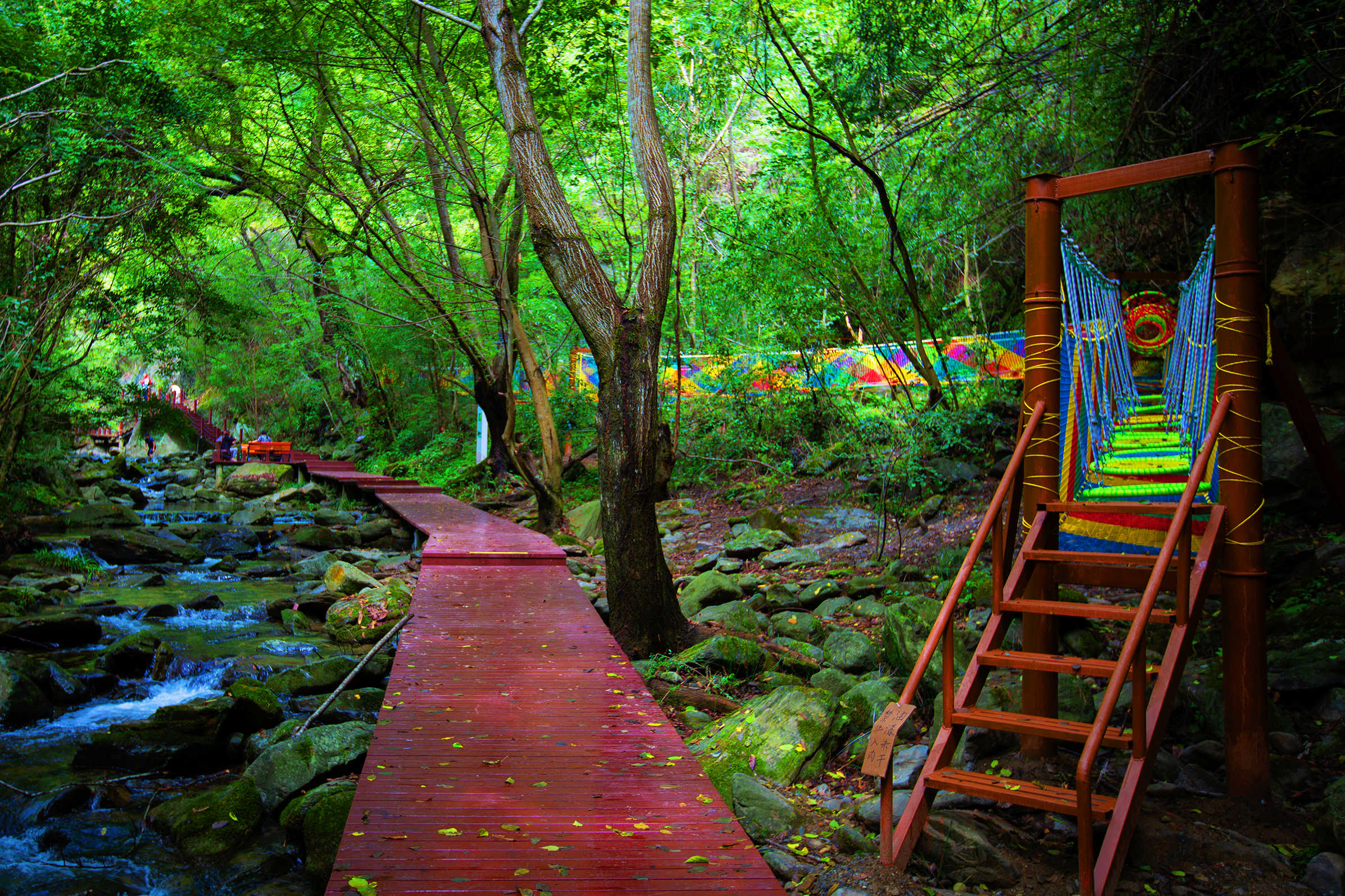
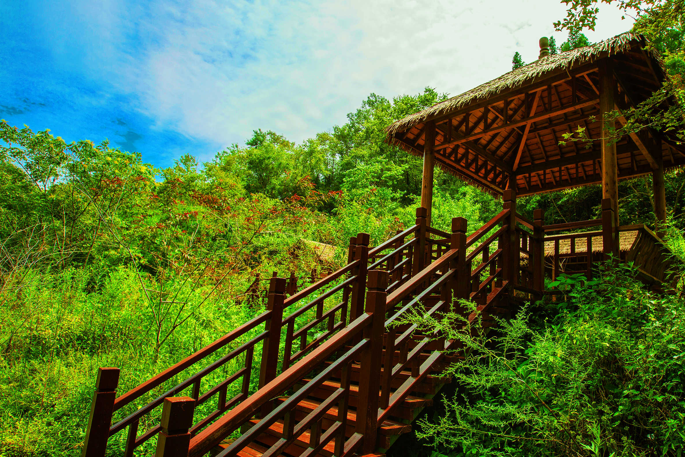
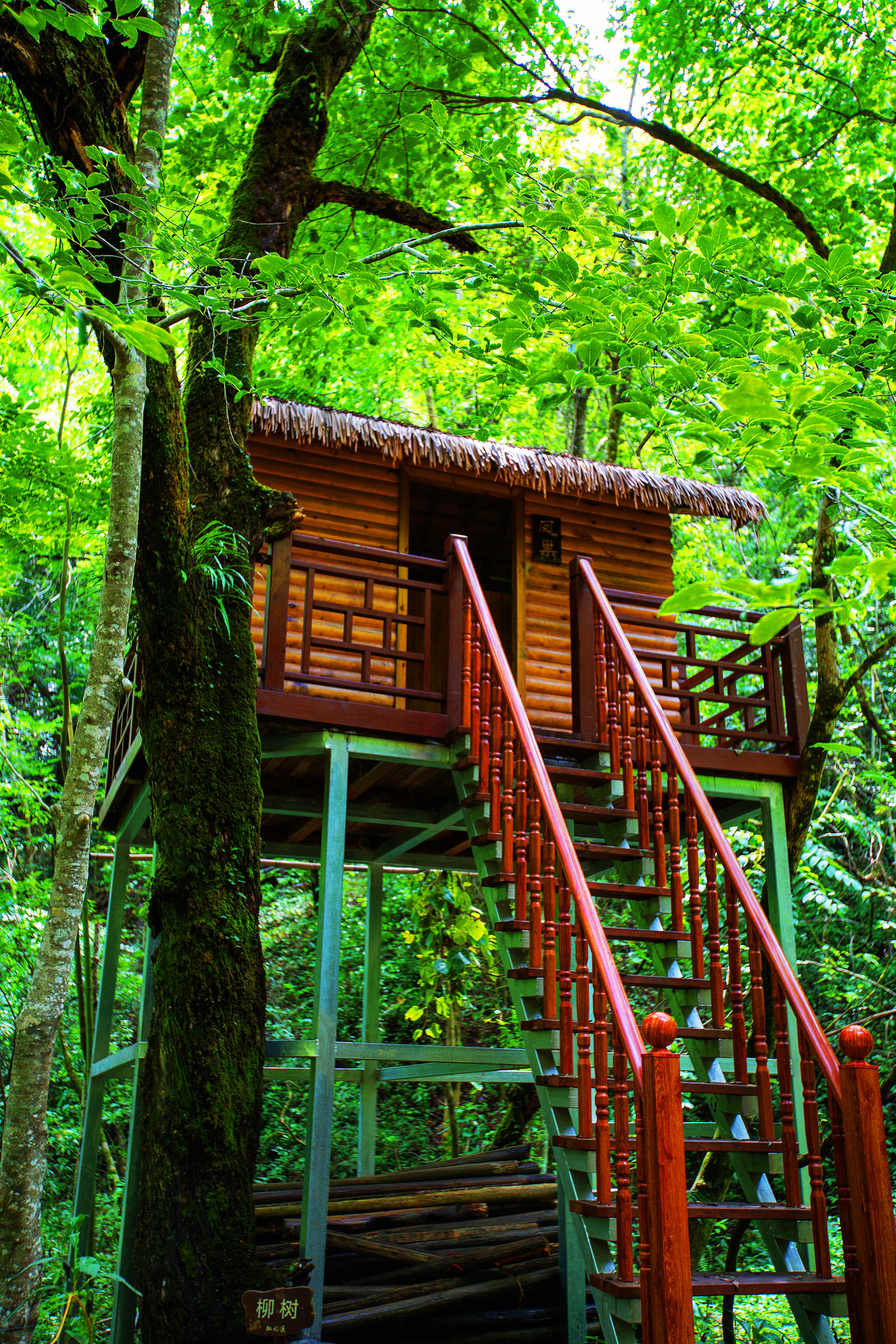
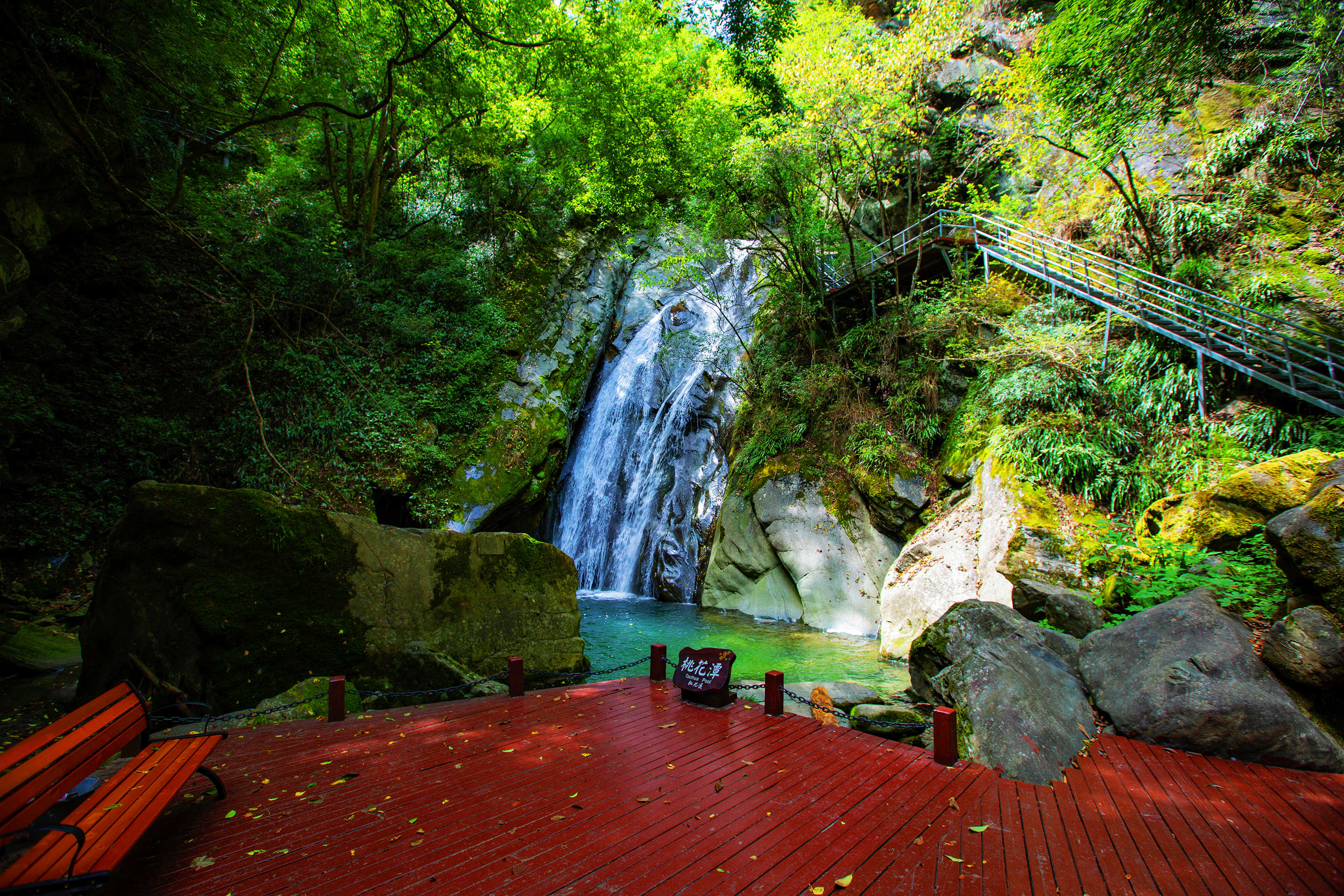
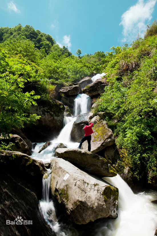
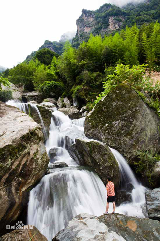
Formerly known as Qianyaogou, Peony Valley is located in Niuwang Township, Pingli County, Shaanxi Province, about 6 kilometers from the county seat. Legend has it that in ancient times, Lei Gong split the mountain stone for Nuwa to make up for the heavens, and the remaining stones were thrown in the Peony Valley. Geologists call the peony ditch a "collapsing rock geomorphology museum." Located in the upper section of Peony Valley, about 10 kilometers northwest of Pingli City, the Peony Valley Scenic Area is a miniature landscape community integrating nature, mountain scenery and water features.
Chinese name
Pingli peony medicine valley
Protected area level
AAAA Grade
geographical location
Niuwang Township, Pingli County, Shaanxi Province
climate
Northern subtropical humid climate zone
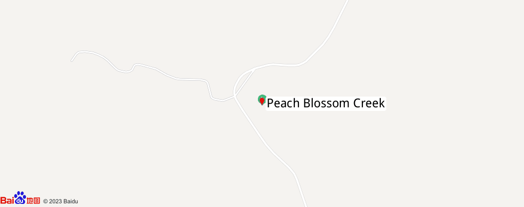
The development zone of Qianyaogou is located about 4km northwest of Pingli County, spreading in a south-west-north-east direction, with a length of about 12km. Anping Expressway, Provincial Highway 308 passes along the mouth of Shaoyanggou Ditch, and the traffic is very convenient.
The landform of the development zone is tectonic erosion in middle and low mountainous areas, the terrain is undulating, the mountain is high, the ditch is deep, the slope is steep, the elevation of the watershed is about 1250m, the outlet of the valley is about 400m, the relative height difference (average cutting depth) is 400~500m, the flat terrain of the ravine is beaded and distributed, the terrain of Laolinwan, Zhangjiaping and Leijiapo Village is relatively gentle and open, the rest of the valley gorge is narrow, before and after Leijiapo Village, due to the right bank landslide and fracture point together in this section of the ditch formation of multi-level plunge, Form the most unique structural landform landscape of the development zone.
Qianyaogou Development Zone is located in the northern subtropical humid climate zone, the annual average temperature is 13.9 °C, the average temperature in January is about 2 °C, the average temperature in July is about 26 °C, the annual precipitation is 958.5mm, the spring precipitation accounts for 24 to 27% of the annual precipitation, the summer accounts for 39 to 42%, the autumn accounts for 29 to 30%, and the winter accounts for 3 to 5%. With the increase of elevation of elevation, the temperature and precipitation are distributed in a vertical band. The overall climate characteristics, summer without heat, winter without severe cold, mild climate, abundant precipitation, four seasons like spring.
On both sides of the ravine of the development zone, the mountain vegetation is abundant, which is a northern subtropical evergreen-deciduous broad-leaved mixed forest belt, the vegetation distribution has a vertical zone, and the coniferous and broad-leaved mixed forests dominated by evergreen broad-leaved forests below 1000 m above sea level, such as oak, birch, poplar, pine, lacquer, chestnut, papaya trees and bamboo, more than 1000 m are Huashan pine, spruce, maple, fir, Dong class and arrow bamboo, etc., and the mountain produces a variety of Chinese herbal medicines such as ginseng, tianma, huanglian, Duhuo and angelica.
The geological structure of the development zone belongs to the South China Plate, the South Qinling Structural Belt, the fault structure in the ditch is not developed, and the geological structure is a Pingli compound anticline wing, which is a single-slope structure.
The stratigraphic lithology of the area is relatively simple, mainly divided into two categories, one is the extremely ancient Middle Proterozoic (about 2 billion years old) Wudang (rock) group (Pt2W) Yangping (rock) strata that make up the main body of the mountain. The lithology of this formation is mainly gray-green silk cloud green mud sodium long schist, silk cloud green mud schist, gray-yellow mica quartz schist, and local sandwich gneiss. Silk cloud green mud sodium long schist and gneiss strength is higher, generally form steep peaks and canyon terrain, along the collapse is more developed, visible huge collapse accumulation, silk cloud green mud schist, mica quartz schist strength is relatively low, generally form a relatively gentle slope and a more open valley.
The other category is the fourth series of loose accumulations, neo-new residual slope gravel soil (Q), widely distributed on the slopes and feet of the valleys, with large variations in thickness; The new Mass (Q), distributed in the hard rock mass of the river valley, forms a pile of landslides on the slopes and at the foot of the slopes.
The alluvial strata (Q) of the new and upper Pleistocene systems are distributed in riverbeds, floodplains and gully base terraces. Floodplains and terraces are the flattest terrain in the peony ditch and are generally distributed in a wide area.
Due to the large annual precipitation, the mountain value of the development zone is abundant, and the surface water and groundwater are abundant. The groundwater is the fourth series of loose accumulation pore diving and bedrock fissure water, the mountains are high and the water is high, and the surface water of the river valley is perennial flowing water, and the water quality is clear and pollution-free.
The undesirable geology of the development zone is mainly a collapse geological disaster, which is mainly distributed in the steep part of the valley mountain. In general, small landslides and rockfalls are prone to formation during the rainstorm season.

Long Press to Scan QR Code
Scan QR Code